

The Cheshire Ring canal route
The Cheshire Ring is a circular canal route located in the North West of England that includes sections of six different canals. The route is 97 miles (156 km) long and includes a total of 92 locks. The term Cheshire Ring first appeared in an IWA bulletin published in July 1965, when it was coined as part of a campaign to prevent the abandonment ofpart of what had been known as the Peak Forest Circular Route between Manchester and Marple. As such, it can claim to be the oldest cruising ring on the inland waterways.
What to see on the Cheshire Ring
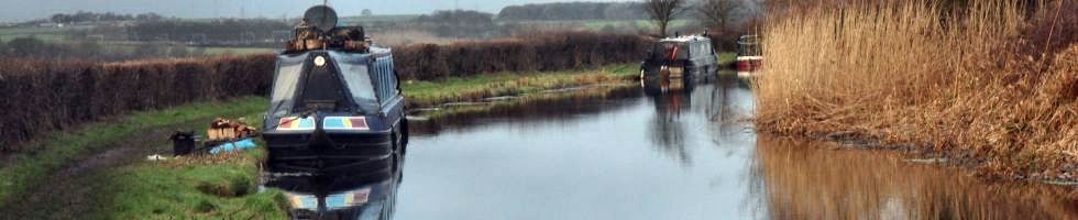
The Cheshire Ring wends its way through a wide variety of landscapes from the urban backdrop of Manchester through the gently rolling countryside of Cheshire to the sweep of the Peninnes as they skirt the Macclesfield canal. The route passes many canal features including broad and narrow locks, aqueducts and tunnels. It also passes the historic Anderton Boat Lift near Northwich.
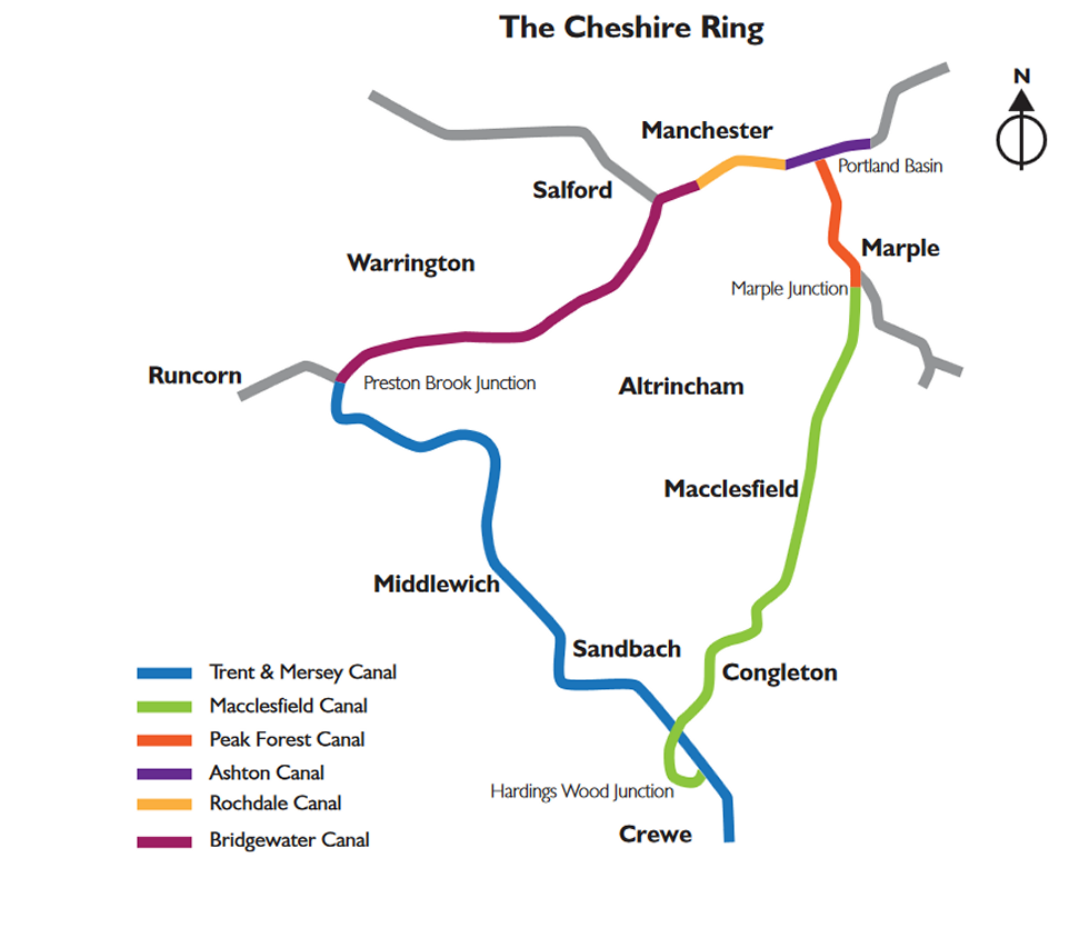
A map of the Cheshire Ring
Approximate Distances (anti-clockwise)
Middlewich Junction to Kidsgrove Hardings Wood Junction, Trent & Mersey Canal
13 miles, 31 locks
Kidsgrove Hardings Wood Junction to Macclesfield, Macclesfield Canal
16 miles, 13 locks
Macclesfield to Marple Junction, Macclesfield Canal
10 miles, no locks
Marple Junction to Ashton Portland Basin, Peak Forest Canal
8 miles, 16 locks, 2 tunnels
Ashton Portland Basin to Manchester Castlefield, Ashton and Rochdale Canals
8 miles, 27 locks
Manchester Castlefield to Lymm, Bridgewater Canal
13 miles no locks
Lymm to Preston Brook Junction, Bridgewater Canal
10 miles no locks
Preston Brook Junction to Anderton, Trent & Mersey Canal
7 miles, 1 lock, 3 tunnels
Anderton to Middlewich Junction, Trent & Mersey Canal
10 miles, 4 locks
How long does it take?
The Cheshire Ring can be completed in two weeks cruising (although experienced boats cruising for 8 hour days could do it in one week) and is therefore a popular holiday route. It is also a popular walking route.